154. Day 100 – Into Queensland towards the Min Min Light country
Saturday 16 August 2008
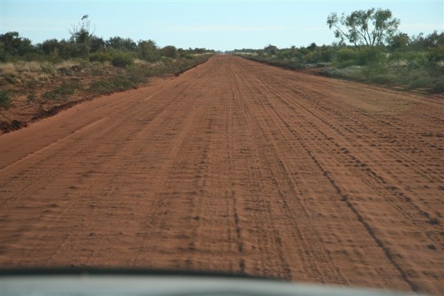
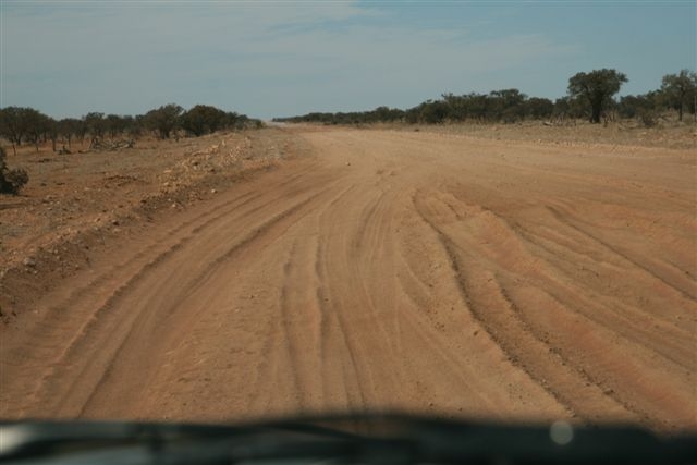
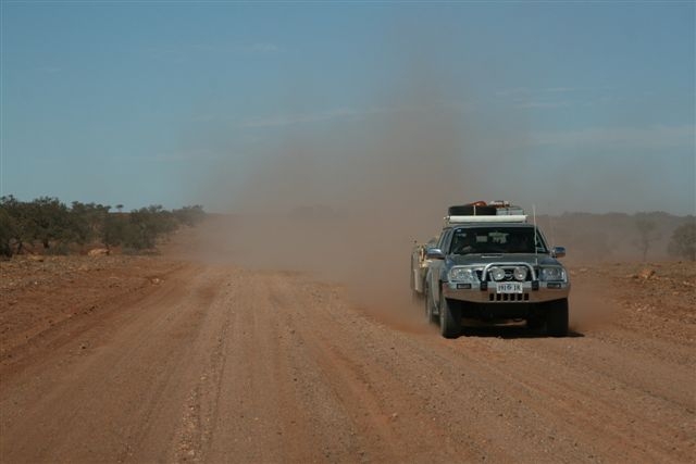
We got going at 7.50 am after our warm showers and breakfast. It was a cool 45° Fahrenheit (7° Celsius) with the sun shining. Unfortunately the road became very corrugated with soft sandy patches called bull dust.
Terrible corrugations along the stretch from Jervois to Arthur River
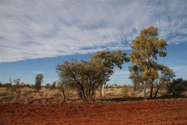
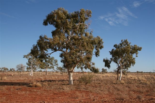
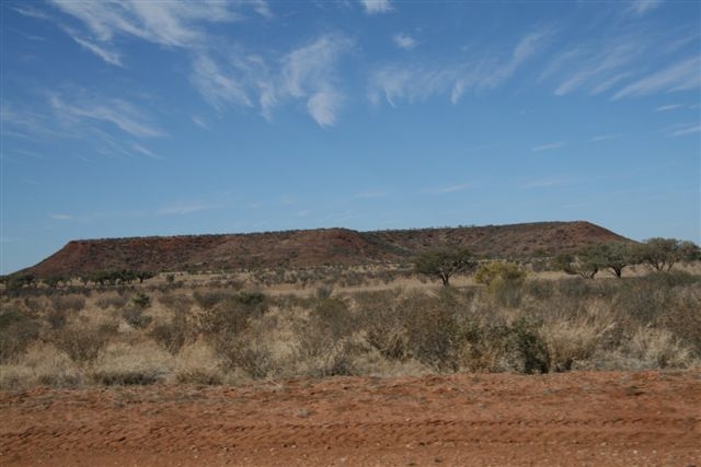
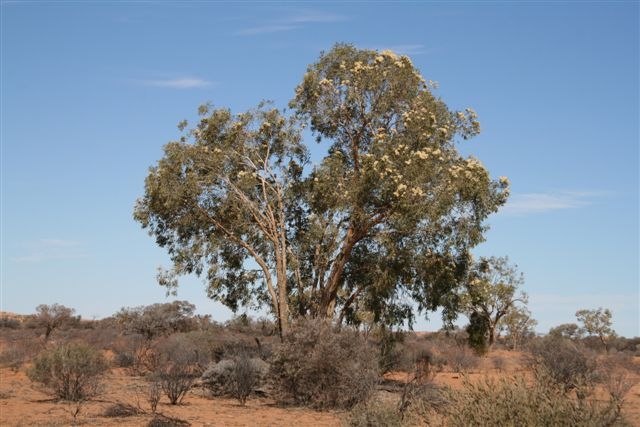
A thin layer of cloud moved over us with beautiful trees scattered beside the road as we bounced along. We were now skirting the northern edge of the Simpson Desert and passing huge cattle stations (or ranches, for our north American friends).
Thin clouds appeared above usBeautiful treesDramatic outback sky
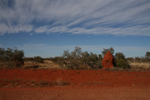
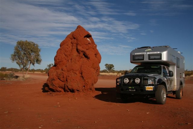
We pulled up beside a huge termite mound right on the edge of the road.
We pulled up beside this huge termite mound
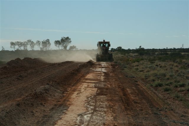
We were pleased to see a grader at work and after passing it we found the road was much smoother.
A grader at workTarlton HillThe PinnaclesMt Guide
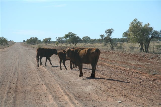
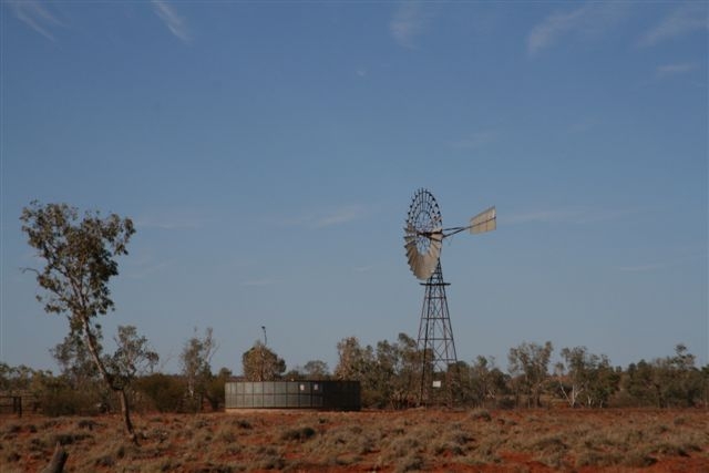
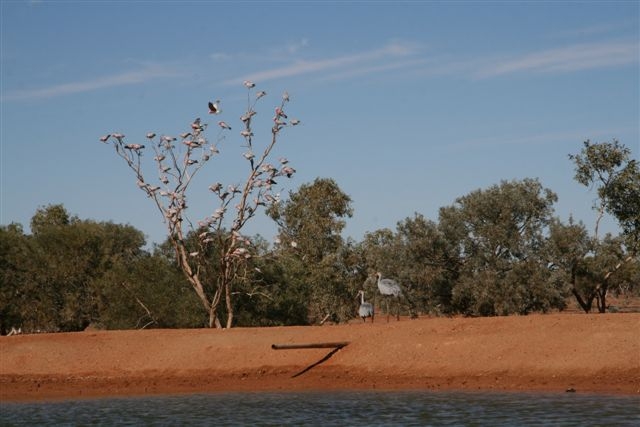
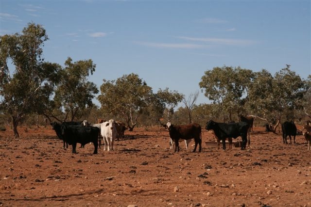
We stopped beside a dam full of water with a bore where a mob of cattle had gathered. It was exciting to see a pair of brolgas standing on the edge of the dam and a flock of pink and grey galahs perched in a tree. We had a morning cup of tea and soaked up the atmosphere of being in outback Australia – we love it.
Cattle wandering along the roadA windmill with water tankBrolgas and pink and grey galahs next to a damCattle at the dam
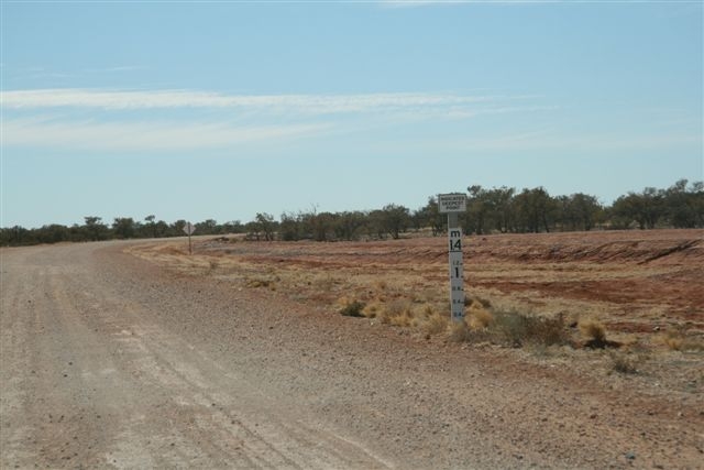
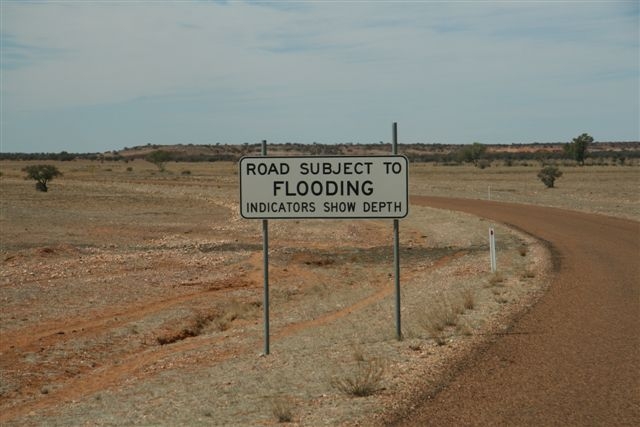
We noticed flood depth indicators beside the road and were amazed how much water must cover the plains when it floods.
Flood level indicator on the flood plain
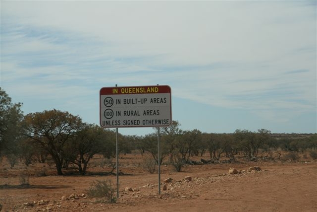
As we approached the Queensland border we saw the sign advising the speed limits – 100 kph on the open road and 50 kph in built up areas in Queensland, much less than in the Northern Territory.
Different speed limits in Queensland
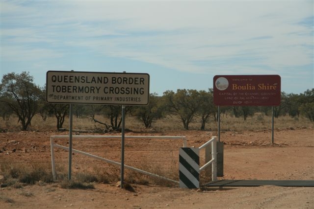
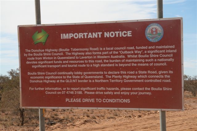
We entered the Boulia Shire as we crossed into Queensland and noticed their interesting sign about their roads.
We crossed the Queensland borderAn interesting sign
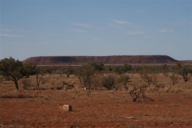
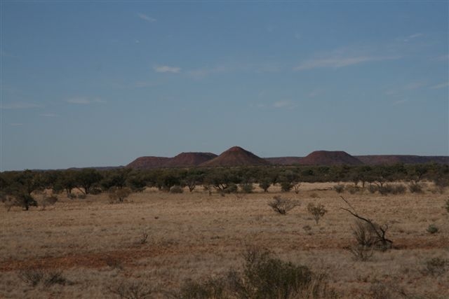
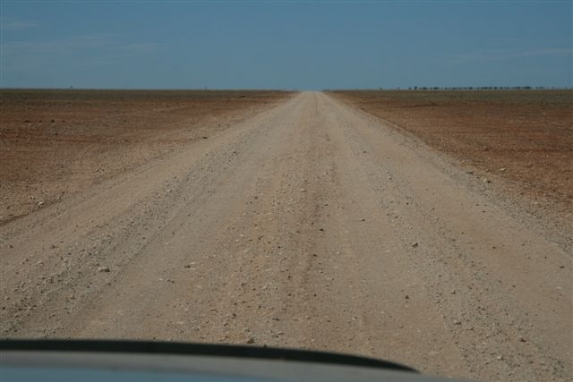
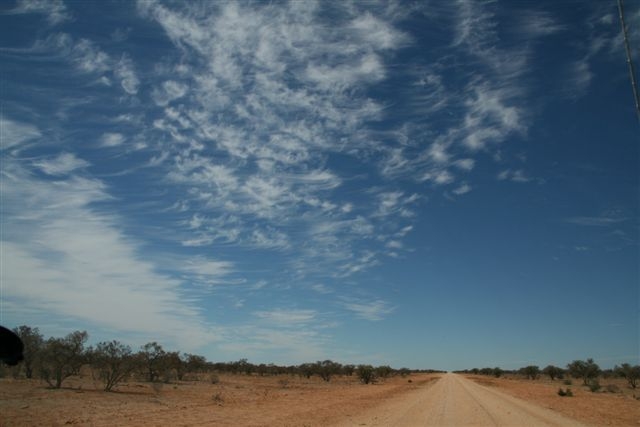
We found ourselves on a huge flat plain with wonderful outback skies.
Some areas were very flatFabulous cloud patterns
The day had warmed up to 63° Fahrenheit (17° Celsius). We had to drive through a few sections of bull dust. The flood plains and creek crossings were bitumen with flood indicators showing up to a depth of one metre. This area is effected by the summer monsoons or “wet season” with the floods moving south from the Barkly Tableland.
Bad patches of bull dustFlood warning and bitumen section on the Pituri Creek flood plain
We seemed to have the roads to ourselves and only passed four cars in the whole day.
We only passed four cars today
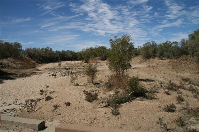
We crossed the Georgina River which was dry and sandy and stopped at 1pm to make ourselves some lunch.
Georgina River – dry and sandy todayTrees with blossom
We arrived into the town of Boulia at 3.30pm and visited the information centre and coffee shop. We enjoyed a coffee and scones and then watched the animated 45 minute show about the fabled Min Min lights. It was very well done and fun to believe while we experienced the show.
The lights are similar to UFO sightings in other countries – they are claimed to glow in the dark and cannot be seen by people who are skeptical or who are trying to see them!
The Boulia Shire is doing a very good job at promoting its people and places with very good informative signs along the roads. Everyone we met was very friendly and positive about their shire.
Boulia – home of the Min Min Light
Just before dark we left Boulia township and drove south towards Bedourie and pulled off the roadto a fantastic little campsite beside a dry creek bed under Coolabah trees and River Red Gums. Dick went for a walk and Pip prepared dinner and downloaded the photos for the day.
Total today 490 kms 37,732 kms since Anchorage, Alaska.